 Metadata Catalogue
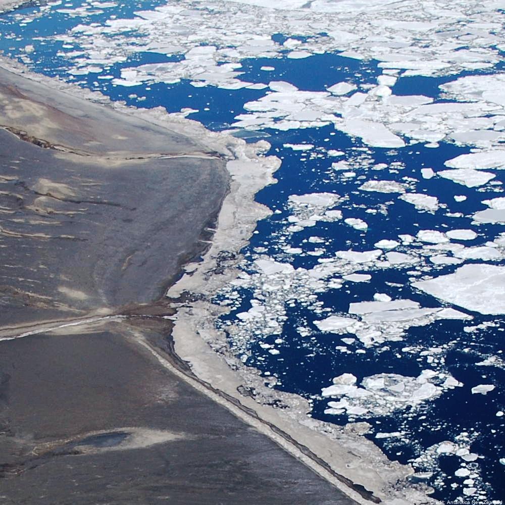
Adélie Penguin (Pygoscelis adeliae) Count Data Using Aerial Images, 1981-Present, Ross Sea Region, Antarctica
Simple
Identification info
- Date (Creation)
- 2023-08-14T17:17:52
- Date (Publication)
- 2023-08-14T17:17:53
- Citation identifier
- https://doi.org/10.7931/kf06-x745
- Presentation form
- Status
- On going
- Point of contact - Custodian, Owner, etc
-
Role Organisation Individual Electronic mail address Author Antarctica New Zealand.
Co-author Manaaki Whenua
Publisher Antarctica New Zealand
- Spatial representation type
- Topic category
-
- Biota
Extent
))
Temporal extent
- Time period
- 1981-01-01T00:00:00
- Maintenance and update frequency
- As needed
- Date
- 2023-08-10T21:39:49
- Date type
- Last Update
- Keywords
-
-
VICTORIA LAND
-
PENGUIN CENSUS
-
PYGOSCELIS ADELIAE
-
K850A
-
- GCMD Earth Science and Earth Science Services Keywords
-
-
INDICATOR SPECIES
-
FOOD-WEB DYNAMICS
-
POPULATION DYNAMICS
-
PENGUINS
-
- GCMD Platform/Sources Keywords
-
-
AERIAL PHOTOGRAPHS
-
C-130
-
HELICOPTER
-
- GCMD Locations Keywords
-
-
ANTARCTICA
-
ROSS ISLAND
-
- Resource constraints
-
Legal constraints Access constraints Use constraints Constraint application scope This data set conforms to the CC BY-NC Attribution License ( https://creativecommons.org/licenses/by-nc/4.0/ )
License License Dataset
Associated resource
- Association Type
- Cross reference
- Initiative Type
- Project
Associated resource
- Association Type
- Cross reference
- Initiative Type
- Project
- Language
- English
- Character encoding
- UTF8
Distribution Information
- Distribution format
-
Transfer options
- Online resource
-
Name Linkage (URL) Protocol Function Description Get Data
WWW:DOWNLOAD-1.0-http--download
Download
- Distribution format
-
- Metadata constraints
-
Legal constraints Access constraints Use constraints Constraint application scope This data set conforms to the CC BY-NC Attribution License ( https://creativecommons.org/licenses/by-nc/4.0/ )
License License Metadata
Metadata
- Metadata identifier
- urn:uuid/17a37ac2-ecbb-4bcb-9f15-b4ea159cb860
- Language
- English
- Character encoding
- anyValidURI
- Metadata Contact
-
Role Organisation Individual Electronic mail address Author Antarctica New Zealand
Type of resource
- Resource scope
- Dataset
- Metadata linkage
-
Name Linkage (URL) Protocol Function Description https://datastore.landcareresearch.co.nz/en_AU/dataset/adelie-penguin-census-data
Complete Metadata
- Date info (Revision)
- 2025-02-12T23:17:58.605Z
- Date info (Creation)
- 2023-08-10T09:38:52
Metadata standard
- Format name
-
ISO 19115-1
- Edition
-
2018
)))