 Metadata Catalogue
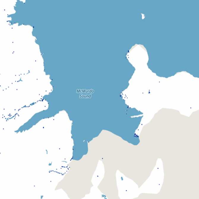
Antarctic Geodetic Marks
Simple
Identification info
- Date (Creation)
- 2011-04
- Purpose
-
This simplified geodetic mark dataset has been created for easy viewing and downloading for the LDS.
It only contains Ross Sea Region Geodetic Datum 2000 (RSRGD2000) positions.
If vertical information is required please use the Geodetic Antarctic Vertical Mark Data (Simple). More detailed data such as site photos or coordinate system position data is required please use the full geodetic datasets or directly refer to the web geodetic database at http://www.linz.govt.nz/gdb .
- Status
- On going
- Point of contact - Custodian, Owner, etc
-
Role Organisation Individual Electronic mail address Point of contact LINZ - Land Information New Zealand
Omit
- Spatial representation type
- Vector
- Topic category
-
- Geoscientific information
Extent
))
- Maintenance and update frequency
- Weekly
Resource format
- Format name
-
*.xml
- Date
- Edition
-
Unknown
- Resource constraints
-
Security constraints
- Language
- English
- Character encoding
- UTF8
Distribution Information
Transfer options
- Online resource
-
Name Linkage (URL) Protocol Function Description https://data.linz.govt.nz/layer/50789-antarctic-geodetic-marks/
Resource lineage
- Statement
-
The original data comes from a geodetic database which was managed by LINZ and its predecessors.
This database contained a summary of the mark, coordinate and site information derived from survey observations and field sheets. The database was migrated into Landonline in 2000.
- Hierarchy level
- Dataset
- Other
-
dataset
- Reference System Information
-
Reference system type Code Description urn:ogc:def:crs:EPSG::4764
- Metadata constraints
-
Security constraints
Metadata
- Metadata identifier
- c1c8066d-e30d-1392-a93f-2fa88fa59953
- Language
- English
- Character encoding
- UTF8
- Metadata Contact
-
Role Organisation Individual Electronic mail address Resource provider LINZ - Land Information New Zealand
omit
Type of resource
- Resource scope
- Dataset
- Descriptor
-
dataset
- Metadata linkage
-
Name Linkage (URL) Protocol Function Description https://antcat.antarcticanz.govt.nz/geonetwork/srv/api/records/c1c8066d-e30d-1392-a93f-2fa88fa599 53
Complete Metadata
- Date info (Creation)
- 2012-01-27T11:00:00Z
- Date info (Revision)
- 2024-10-01T03:18:41.504Z
Metadata standard
- Format name
-
ANZLIC Metadata Profile: An Australian/New Zealand Profile of AS/NZS ISO 19115:2005, Geographic information - Metadata
- Edition
-
1.1
)))