Benthic Epifauna, ADCP, Sediment Composition, and Seafloor High Resolution Video, Scott Base, 2019
As part of the Scott Base Redevelopment Marine Monitoring Programme, the impact of Scott Base's activities on the local marine environment was assessed.
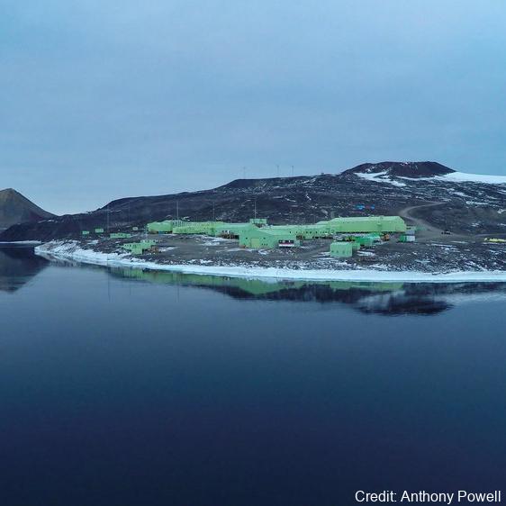
Sampling took place at three sites around Hut Point Peninsula on the southern half of Ross Island during October – November 2019 to assess anthropogenic contamination.
Two acoustic doppler current profilers (ADCP; Nortek Signature 500) were deployed, and set with a 2-minute sampling period in 1m vertical depth bins from the seabed to the underside of the ice. Instrument heads were kept ~0.5 m beneath the under-surface. ADCP data were downloaded, extracted from their raw formats, and averaged into 10-minute intervals. A magnetic declination of 141.09° E was applied to the measured current direction to correct the readings to reflect true north and a pressure offset was applied to standardise depths relative to ambient air pressure at the seawater surface.
Information on habitats and benthic epifauna assemblage composition were collected using high resolution video across 2 25m transects at ~22m depth. Multiple overlapping passes were made across the seabed transects at ~0.5 m depth contours between ~20 – 26 m in order to create a 2D orthomosaic image of each site.
Analysis of the diver-collected video was done using individual frames. The video along each transect was divided into 10 equal time segments and still frames were taken at random from the first, third, fifth, seventh and ninth segments. Eight video frames were analysed per transect (i.e., n=8 per transect and n=16 per site) by one individual to minimise observer bias.
Sediment samples were collected by divers to determine contaminant concentrations and sediment characteristics (sediment particle size composition, organic matter content, organic carbon content and algal pigment content) at each site.
Sponge species (Sphaerotylus antarcticus and Laternula elliptica) were collected for tissue contaminant analysis.
Full description of methods is available at: https://doi.org/10.1007/s00300-023-03181-1
GET DATA: drew.lohrer@niwa.co.nz drew.lohrer@niwa.co GET DATA: drew.lohrer@niwa.co.nz
Simple
Identification info
- Date (Creation)
- 2019-01-01T00:00:00
- Date (Publication)
- 2019-01-01T00:00:00
- Presentation form
- Status
- On going
- Point of contact - Custodian, Owner, etc
-
Role Organisation Individual Electronic mail address Author Lohrer, D. drew.lohrer@niwa.co.nz Publisher Antarctica New Zealand adminteam@antarcticanz.govt.nz
- Spatial representation type
- Topic category
-
- Environment
- Biota
- Oceans
Extent
))
Temporal extent
- Time period
- 2019-10-01T00:00:00 T00:00:00
- Keywords
-
- SCOTT BASE
- INSTALLATION
- K750F
- GCMD Earth Science and Earth Science Services Keywords
-
- HEAVY METALS
- COASTAL
- CONTAMINANTS
- ANIMALS/INVERTEBRATES
- COMMUNITY STRUCTURE
- BENTHIC
- GCMD Platform/Sources Keywords
-
- FIELD SURVEYS
- GCMD Instrument Keywords
-
- CURRENT METERS
- ADCP
- UNDERWATER VIDEO CAMERA
- GCMD Locations Keywords
-
- ROSS ISLAND
- ANTARCTICA
- Resource constraints
-
Legal constraints Access constraints Use constraints Constraint application scope This data set conforms to the CC BY Attribution License (https://creativecommons.org/licenses/by/4.0/) License License Dataset
- Language
- English
- Character encoding
- UTF8
Distribution Information
- Distribution format
-
- Metadata constraints
-
Legal constraints Access constraints Use constraints Constraint application scope This data set conforms to the CC BY Attribution License (https://creativecommons.org/licenses/by/4.0/) License License Metadata
Metadata
- Metadata identifier
- urn:uuid/b7f41ffe-d964-48a6-9322-5c7340802779
- Language
- English
- Character encoding
- anyValidURI
- Metadata Contact
-
Role Organisation Individual Electronic mail address Point of contact Antarctica New Zealand adminteam@antarcticanz.govt.nz
Type of resource
- Resource scope
- Dataset
- Metadata linkage
-
Name Linkage (URL) Protocol Function Description Complete Metadata https://ant-nz.geodata.nz:/geonetwork/srv/api/records/b7f41ffe-d964-48a6-9322-5c7340802779 Complete Metadata
- Date info (Revision)
- 2024-06-25T03:15:33
- Date info (Creation)
- 2023-02-14T23:25:14
Metadata standard
- Format name
- ISO 19115-1
- Edition
- 2018
Overviews
Spatial extent
)))
Provided by