 Metadata Catalogue
Antarctic Ant50k Maps
Simple
Identification info
- Date (Creation)
- 2012-08-10T00:00:00+12:00
- Date (Publication)
- 2012-08-10T00:00:00+12:00
- Purpose
-
Ant50 is the topographic mapping carried out by LINZ within the Ross Dependency, Antarctica.
Permits may be required to visit some sensitive and special islands and areas.
When using Ant50 data, please be aware of the following:
1. Due to lack of contrast in some source images, no feature capture was able to take place on some of the glacier regions
2. Mapping of different areas of the Dry Valleys and Ross Island was undertaken in the 1980s and 1990s. At this time, metadata for the source images of each area of mapping is not available
3. Contours and spot elevations in snow areas may be less accurate
4. The location of tracks on sea ice is subject to annual change
5. The existance of a road or track does not necessarily indicate permitted access
6. Ice shelf and sea extents are from differring data sources and dates
7. Absence of crevasse data does not necessarily indicate a crevasse-free area
- Status
- On going
- Point of contact - Custodian, Owner, etc
-
Role Organisation Individual Electronic mail address Author Toitū Te Whenua Land Information New Zealand
Publisher Toitū Te Whenua Land Information New Zealand
- Spatial representation type
- Grid
Spatial resolution
Equivalent scale
- Denominator
- 50000
- Topic category
-
- Imagery base maps earth cover
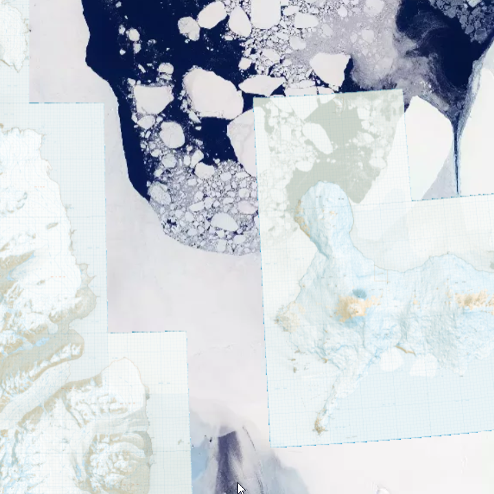
Extent
))
- Maintenance and update frequency
- Unknown
Resource format
- Format name
-
*.xml
- Date
- Edition
-
Unknown
- ANZLIC Jurisdictions
-
-
New Zealand
-
- Resource constraints
-
Legal constraints Access constraints Use constraints Constraint application scope Copyright 2011 Crown copyright (c)
Land Information New Zealand and the New Zealand Government.
All rights reserved
Copyright Released under Creative Commons By with:
Following Disclaimers:
1. Due to lack of contrast in some source images, no feature capture was able to take place on some of the glacier regions
2. Mapping of different areas of the Dry Valleys and Ross Island was undertaken in the 1980s and 1990s. At this time, metadata for the source images of each area of mapping is not available
3. Contours and spot elevations in snow areas may be less accurate
4. The location of tracks on sea ice is subject to annual change
5. The existance of a road or track does not necessarily indicate permitted access
6. Ice shelf and sea extents are from differring data sources and dates
7. Absence of crevasse data does not necessarily indicate a crevasse-free area
8. Permits may be required to visit some sensitive and special islands and areas.
Following Attribution:
If you publish, distribute or otherwise disseminate this work to the public without adapting it, the following attribution to Land Information New Zealand should be used:
'CC-BY 4.0 Land Information New Zealand'
If you adapt this work in any way or include it in a collection, and publish, distribute or otherwise disseminate that adaptation or collection to the public, the following attribution to Land Information New Zealand should be used:
'Contains data sourced from Land Information New Zealand under CC-BY 4.0.'
If 'attribution stacking' problems exist then the requirement to display the above attribution statements is waived and in lieu the attribution statement is to be made in any terms or conditions associated with the work/ product/ application/ etc.
License
- Language
- English
- Character encoding
- UTF8
Distribution Information
Transfer options
- Online resource
-
Name Linkage (URL) Protocol Function Description https://data.linz.govt.nz/layer/51109-antarctic-ant50k-maps/
Resource lineage
- Statement
-
Since 1923, New Zealand has maintained its right of sovereignty over the Ross Dependency, an area defined as all islands and territories south of 60 degrees south latitude and between the 160th degree of east longitude and the 150th degree of west longitude.
LINZ, in conjunction with the USGS, carried out mapping of the Dry Valleys area and Ross Island in the 1980s and 1990s. In 2007, LINZ expanded the mapping to include the Darwin/Hatherton Glacier region of Antarctica. The purpose of this is to support science taking place in the region as part of the Latitudinal Gradient Project. The data provided is based on ALOS PRISM satellite imagery taken during the 2006/07 season and is supplied in the Darwin Glacier Lambert Conformal Conic 2000 projection. The survey work for this data was undertaken between 2007 2010.
- Hierarchy level
- Dataset
- Other
-
dataset
- Reference System Information
-
Reference system type Code Description urn:ogc:def:crs:EPSG::5479
- Metadata constraints
-
Legal constraints Access constraints Use constraints Constraint application scope Copyright 2011 Crown copyright (c)
Land Information New Zealand and the New Zealand Government.
All rights reserved
Copyright Released under Creative Commons By
License
Metadata
- Metadata identifier
- 80181266-6cd8-b615-2a9e-0cdf4531761c
- Language
- English
- Character encoding
- UTF8
- Metadata Contact
-
Role Organisation Individual Electronic mail address Resource provider LINZ - Land Information New Zealand
omit
Type of resource
- Resource scope
- Dataset
- Descriptor
-
dataset
- Metadata linkage
-
Name Linkage (URL) Protocol Function Description https://antcat.antarcticanz.govt.nz/geonetwork/srv/api/records/80181266-6cd8-b615-2a9e-0cdf4531761c
Complete Metadata
- Date info (Creation)
- 2012-09-27T00:00:00Z
- Date info (Revision)
- 2024-08-29T22:20:16.022Z
Metadata standard
- Format name
-
ANZLIC Metadata Profile: An Australian/New Zealand Profile of AS/NZS ISO 19115:2005, Geographic information - Metadata
- Edition
-
1.1
)))