Antarctic Daily Mesoscale Air Temperature Dataset Derived from Remotely Sensed Land and Ice Surface Temperature – AntAir ICE
Simple
Identification info
- Date (Creation)
- 2023-11-27T00:00:00
- Date (Publication)
- 2023-11-27T00:00:00
- Citation identifier
- https://doi.org/10.1594/PANGAEA.954750
- Presentation form
- Status
- Completed
- Point of contact - Custodian, Owner, etc
-
Role Organisation Individual Electronic mail address Author Bendix Nielsen, E.
Co-author Katurji, M.
Co-author Zawar-Reza, P.
Co-author Meyer, H.
Publisher PANGAEA
- Spatial representation type
- Topic category
-
- Climatology, meteorology, atmosphere
Extent
))
))
Temporal extent
- Time period
- 2003-01-01 2021-01-01
- GCMD Earth Science and Earth Science Services Keywords
-
-
AIR TEMPERATURE
-
- GCMD Platform/Sources Keywords
-
-
WEATHER STATIONS
-
- GCMD Instrument/Sensors Keywords
-
-
AWS
-
Passive Remote Sensing
-
MODIS
-
- GCMD Locations Keywords
-
-
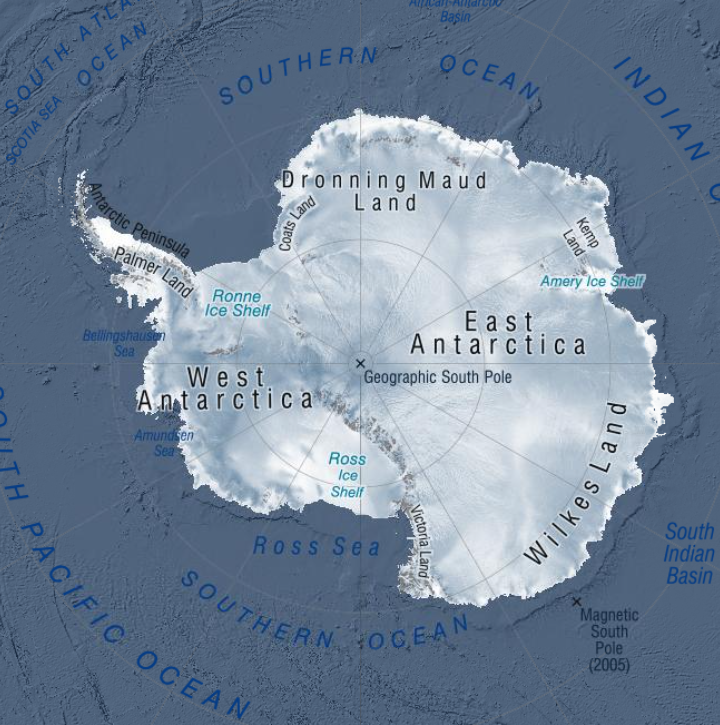
ANTARCTICA
-
- Resource constraints
-
Legal constraints Access constraints Use constraints Constraint application scope This data set conforms to the CC BY Attribution License ( https://creativecommons.org/licenses/by/4.0/ )
License License Dataset
- Language
- English
- Character encoding
- UTF8
- Supplemental Information
-
The dataset is in a GeoTIFF format and in the Antarctic Polar Stereographic projection (EPSG 3031) with one file per day. Each day is a bricked spatial raster with two layers; the first layer is the predicted near surface air temperature for that day in degree Celsius using a scaling factor of 0.1, the second layer is the number of available MODIS scenes for each grid cell for that day ranging from 0 to 4. Areas with cloud contamination or without sea ice are marked with no data. The files are names AntAir_ICE_<YYYY>_<DOY>.tif, where <YYYY> represents the year and <DOY> represents the day of year. Files for each year (2003-2021) are divided into quarters with January, February, March as 1, April, May, June as 2, July, August, September as 3 and October, November, December as 4 and compressed to ZIP files.
Distribution Information
- Distribution format
-
Resource lineage
- Statement
-
The data set was checked for completeness, correctness, and consistency of metainformation. Validity of used methods was checked and - if applicable - precision and range of data.
- Metadata constraints
-
Legal constraints Access constraints Use constraints Constraint application scope This data set conforms to the CC BY Attribution License ( https://creativecommons.org/licenses/by/4.0/ )
License License Metadata
Metadata
- Metadata identifier
- urn:uuid/7c6288b5-80e2-447d-8bdb-6e3cec4424e0
- Language
- English
- Character encoding
- anyValidURI
- Metadata Contact
-
Role Organisation Individual Electronic mail address Point of contact New Zealand Antarctic Science Platform
Type of resource
- Resource scope
- Dataset
- Metadata linkage
-
Name Linkage (URL) Protocol Function Description Complete Metadata
- Date info (Revision)
- 2025-11-11T18:55:39.857Z
- Date info (Creation)
- 2024-01-31T22:40:12
Metadata standard
- Format name
-
ISO 19115-1
- Edition
-
2018
Overviews
Spatial extent
),POLYGON((160%20-90,160%20-55,40%20-55,40%20-90,160%20-90))))
Provided by