 Metadata Catalogue
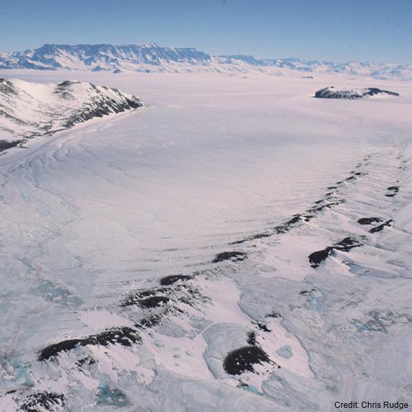
Coastal and Landfast Sea Ice Thickness in Western Ross Sea, Antarctica, from Airborne Electromagnetic Induction in November 2017: Sea Ice in Front of Hells Gate Ice Shelf
Simple
Identification info
- Date (Creation)
- 2022-11-09T10:58:00
- Date (Publication)
- 2022-11-09T10:43:00
- Citation identifier
- https://doi.org/10.1594/PANGAEA.950398
- Presentation form
- Status
- Completed
- Point of contact - Custodian, Owner, etc
-
Role Organisation Individual Electronic mail address Author Langhorne, Patricia J. pat.langhorne@otago.ac.nz Co-author Haas, Christian. christian.haas@awi.de Co-author Rack, Wolfgang. wolfgang.rack@canterbury.ac.nz Co-author Leonard, Greg H. gregory.leonard@otago.ac.nz Co-author Brett, Gemma Marie. gemma.brett@canterbury.ac.nz Co-author Price, Daniel. daniel.price@canterbury.ac.nz Publisher PANGAEA info@pangaea.de
- Spatial representation type
- Topic category
-
- Oceans
Extent
N
S
E
W
))
Temporal extent
- Time period
- 2017-11-09T00:00:00 2017-11-09T00:00:00
- Keywords
-
- SUB-ICE PLATLET LAYER
- ELECTROMAGNETIC INDUCTION
- EM-BIRD
- K066A
- GCMD Earth Science and Earth Science Services Keywords
-
- SEA ICE
- ICE DEPTH/THICKNESS
- SEA ICE DYNAMICS
- GCMD Platform/Sources Keywords
-
- Ice Shelf
- Air-based Platforms
- HELICOPTER
- Airplane
- FIELD SURVEYS
- GCMD Locations Keywords
-
- ROSS SEA
- ANTARCTICA
- Resource constraints
-
Legal constraints Access constraints Use constraints Constraint application scope This data set conforms to the CC BY Attribution License (https://creativecommons.org/licenses/by/4.0/) License License Dataset
Associated resource
- Association Type
- Cross reference
- Initiative Type
- Project
- Language
- English
- Character encoding
- UTF8
Distribution Information
- Distribution format
-
Transfer options
- Online resource
-
Name Linkage (URL) Protocol Function Description Pangaea https://doi.pangaea.de/10.1594/PANGAEA.950398?format=textfile WWW:DOWNLOAD-1.0-http--download Download
- Metadata constraints
-
Legal constraints Access constraints Use constraints Constraint application scope This data set conforms to the CC BY Attribution License (https://creativecommons.org/licenses/by/4.0/) License License Metadata
Metadata
- Metadata identifier
- urn:uuid/742ab8fe-f0c3-4974-a0fa-81f6e8d49eb7
- Language
- English
- Character encoding
- anyValidURI
- Metadata Contact
-
Role Organisation Individual Electronic mail address Point of contact Langhorne, Patricia J. pat.langhorne@otago.ac.nz
Type of resource
- Resource scope
- Dataset
- Metadata linkage
-
Name Linkage (URL) Protocol Function Description https://doi.org/10.1594/PANGAEA.950398 Complete Metadata
- Date info (Revision)
- 2024-05-23T23:02:42
- Date info (Creation)
- 2024-03-04T20:37:01
Metadata standard
- Format name
- ISO 19115-1
- Edition
- 2018
)))