 Metadata Catalogue
Geomagnetic Data Collected from Scott Base, Cape Evans, and Lake Vanda
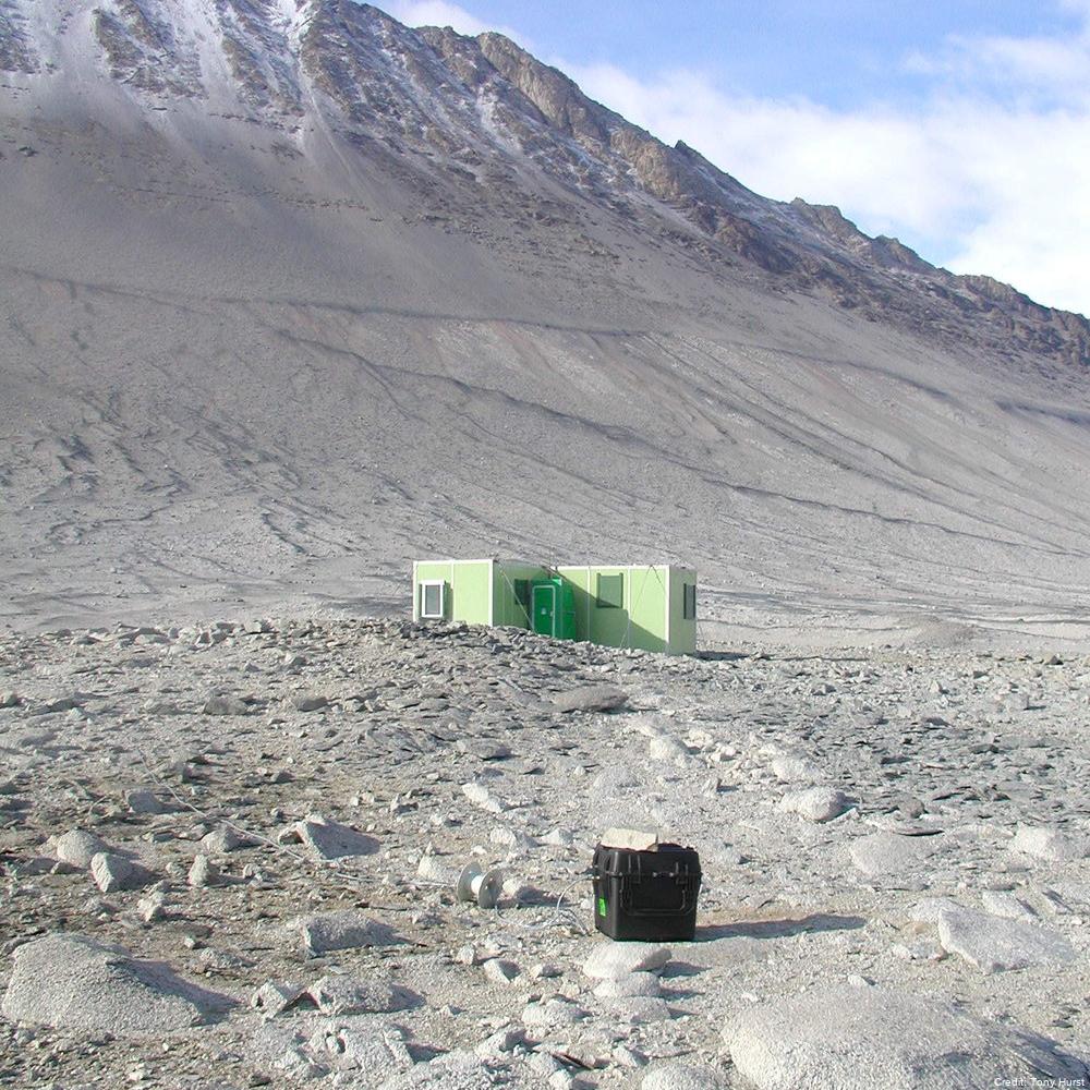
Geomagnetic measurements were established in Antarctica in 1957 as part of the International Geophysical Year and have continued until present. Geomagnetic data have been recorded continuously but for a gap in the data from 1959 until 1963. Since 1963, the components of the Earth’s magnetic field (H, D & Z) and the large variations in this field associated with the arriving charged particles which produce magnetic storms and aurora, have in principle been recorded continuously, with the quality improving as various upgrades were done. The instruments are still located at Scott Base. Because the surface volcanic rocks at Scott Base are strongly magnetised, two other sites are used for repeat measurements of the Earth's magnetic field - Cape Evans (first measured by Scott’s expedition in 1911) and Lake Vanda (first measured in 1974). The magnetic field is remeasured at these sites approximately every five years.
This research project forms part of a global network of observatory magnetometers which provide information for the variation of the Earth's geomagnetic field on global and regional scales. Three component recordings of geomagnetic field variations are made, analysed and transmitted to international databases and individual researchers as appropriate.
In the 2011/2012 season, we recorded the magnetic field at the Weir site by Lake Vanda, but the site at Astro A is now inaccessible and probably underwater, because the lake level has risen. We established a backup site called C Granite, slightly north-east of Weir, and on the same side of the Onyx River as the refuge huts.
In the 2016/17 season, we recorded the magnetic field and took absolute magnetic measurements at the Vanda Weir & Vanda Granite sites over a four-day time period. We also conducted a set of absolute magnetic measurements at the repeat magnetic measurement site at the Cape Evans Magnetic Hut.
In the 2022/2023 season, we took absolute magnetic measurements at Weir and Granite sites by Lake Vanda.
In the 2023/2024 season, we took absolute magnetic measurements at the Cape Evans Magnetic Hut.
GET DATA:
- Lake Vanda (-77.52, 161.67)
- Cape Evans (-77.637, 166.417)
- Vanda Weir (-77.524, 161.696)
- Vanda Granite (-77.523, 161.704)
- Astro A (-77.52, 161.67)
- Minna Bluff (and other historic measurements from various sites)
-------------> https://geomag.bgs.ac.uk/data_service/data/surveydata.shtml
GET DATA:
Scott Base Preliminary and Definitive data (-77.829, 166.671)
-------------> https://imag-data.bgs.ac.uk/GIN_V1/GINForms2?observatoryIagaCode=SBA
GET DATA:
Scott Base Repeat Measurements Dataset from 2009-Present (-77.829, 166.671):
-------------> contact geomag@gns.cri.nz geomag@gns.cri -------------> contact geomag@gns.cri.nz
Simple
Identification info
- Date (Creation)
- 2023-08-16T10:09:53
- Date (Publication)
- 2023-08-16T10:09:53
- Presentation form
- Status
- On going
- Point of contact - Custodian, Owner, etc
-
Role Organisation Individual Electronic mail address Author Petersen, T. t.petersen@gns.cri.nz Publisher GNS geomag@gns.cri.nz
- Spatial representation type
- Topic category
-
- Geoscientific information
Extent
))


Temporal extent
- Time period
- 1957-01-01T00:00:00
- Maintenance and update frequency
- As needed
- Date
- 2023-08-16T10:09:56
- Date type
- Last Update
- GCMD Earth Science and Earth Science Services Keywords
-
- EARTHQUAKES
- MAGNETIC INTENSITY
- MAGNETIC INCLINATION
- MAGNETIC FIELD
- EARTHQUAKE OCCURRENCES
- MAGNETIC DECLINATION
- Keywords
-
- PROTON PROCESSION MAGNETOMETER
- INSTALLATION
- K102A
- GCMD Platform/Sources Keywords
-
- GEOMAGNETIC STATIONS
- GROUND STATIONS
- GCMD Instrument/Sensors Keywords
-
- FLUXGATE MAGNETOMETERS
- DIFLUX MAGNETOMETERS
- Resource constraints
-
Legal constraints Access constraints Use constraints Constraint application scope This data set conforms to the CC BY Attribution License (https://creativecommons.org/licenses/by/4.0/) License License Dataset
- Language
- English
- Character encoding
- UTF8
Distribution Information
- Distribution format
-
- Metadata constraints
-
Legal constraints Access constraints Use constraints Constraint application scope This data set conforms to the CC BY Attribution License (https://creativecommons.org/licenses/by/4.0/) License License Metadata
Metadata
- Metadata identifier
- urn:uuid/0f54761a-fbf1-4da0-bf84-3e24c42d144e
- Language
- English
- Character encoding
- anyValidURI
- Metadata Contact
-
Role Organisation Individual Electronic mail address Point of contact GNS geomag@gns.cri.nz
Type of resource
- Resource scope
- Dataset
- Metadata linkage
-
Name Linkage (URL) Protocol Function Description https://geomag.bgs.ac.uk/data_service/data/surveydata.shtml Complete Metadata
- Date info (Revision)
- 2024-07-19T04:57:33.571Z
- Date info (Creation)
- 2023-08-15T22:08:17
Metadata standard
- Format name
- ISO 19115-1
- Edition
- 2018